Google Maps, which I find has a much cleaner interface than most of the other map systems out there, now has a satellite view. Yow.
“Hey, I can see my house (and some other people’s houses) from up here!”
Interesting, the address anchor point is sometimes off by a house or two. And the photos may be a few years old.
45 view(s)
Not bad…
Seems to wrk fairly well. Not that there are good satellite photos of everywhere, but looks nice for the areas that they do have.
I’d like to have a “level of detail” toggles like mutimap has, but that may come later. Multimap, and the USGS national map viewer aer still better, but for a quick view map viewer it does a good job.
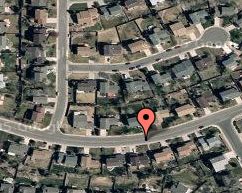
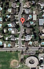
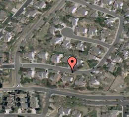
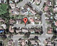
So, I recognize two of the locations, and I suspect that the other two are in Cali because of all the swimming pools.
Different areas have different amount of detail. Around my house I can only zoom in so far (look in south Fort Collins to see the effect). I always thought I was a bit fuzzy and this just confirms it. 🙂
Oh, and the shadows on the skyscrapers in downtown Los Angeles is waaay cool.
The photos are definitely old. My residence is not there and I’ve lived here over two years. Cool feature, though. I love Google maps.
The photos at my house show the new concrete along the frontage road, but not the Saturn dealership, so it’s a year-plus old.
Here is the dates and resolution for Colorado
Colorado Springs May – 2002 2 Foot
Denver Metro April – 2002 1 Foot
North Front Range Oct – 2000 1 Meter
Pueblo May – 2002 2 Foot
Cool. Thanks, Rich.